Landscape
The terrain of the Parish rolls gently from its northern edge on the Silchester-Brimpton Common ridge (around 100 metres above sea level) down to the course of the Baughurst Brook (a maximum drop of some 30 metres), then rises again at its southern edge to 143 metres near Ewhurst on the lower slopes of the North Hampshire Downs. The land between is fairly even, with one area of higher ground (110 metres) at Browning Hill on the eastern edge of the Parish and a second high point around Wolverton church rising to almost 130 metres. The Baughurst Brook and small tributaries drain north-westward, later to join the Enborne and so into the Kennet.
The agricultural landscape is largely unchanged from Victorian times, with small fields and hedges forming the boundaries to the fields. Baughurst Brook is a Site of Importance for Natural Conservation (SINC) and the Holt is a Site of Special Scientific Interest (SSSI). Wolverton falls within an Area of Outstanding Natural Beauty (AONB).
The Parish is well wooded, especially on its western side, though interspersed with many small fields having old boundaries, many dating back to medieval times or earlier. Wildlife thrives in this area, notably badgers and deer, as do a wide variety of birds and butterflies, including the magnificent but rarely seen Purple Emperor. Within the Parish there are large areas of native broad-leaf woodlands which form and shape the landscape setting and thin fingers of woodland interconnect these, so providing important wildlife corridors.
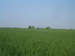
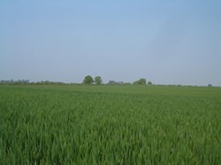
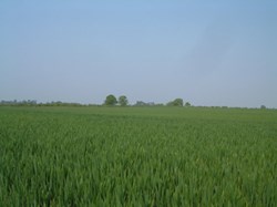
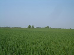
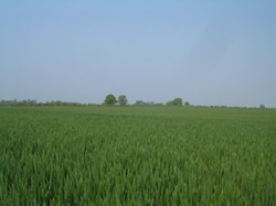
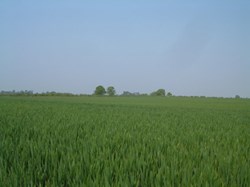
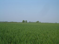
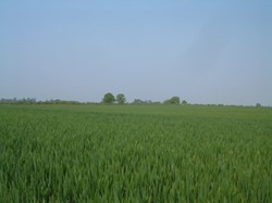
The northern edge of the Parish, now substantially built on, sustains many conifers on a mainly sand and gravel soil but as the largely pastoral clay-based landscape in the vale of the Baughurst Brook gives way to the chalk of the Downs in the south, the farmland becomes essentially arable with prairie-like fields. Farming within the Parish is a mixture of livestock and arable, the permanent meadow pastures and grassland leys being mainly grazed by cattle interspersed with a few sheep.
Mature tree cover within the settlement in the north of the Parish is good and forms an essential feature. There are many other varied wooded areas, some with mature oaks forming beautiful backdrops and vistas and the mature trees forming small wooded areas such as Copse Close and Great Copse in the Baughurst Road area are an essential characteristic of the Parish.
Throughout the Parish there are many small natural streams and ditches that have a general flow direction towards Baughurst Brook and eventually into the River Thames.
